|
| *****SWAAG_ID***** | 476 |
| Date Entered | 25/03/2012 |
| Updated on | 25/03/2012 |
| Recorded by | Tim Laurie |
| Category | Vernacular Record |
| Record Type | Miscellaneous |
| Site Access | Private |
| Record Date | 22/03/2012 |
| Location | West Stonesdale |
| Civil Parish | Muker |
| Brit. National Grid | NY 8879 0308 |
| Altitude | 376m |
| Geology | River valley cut through Namurian limestone and sandstone. |
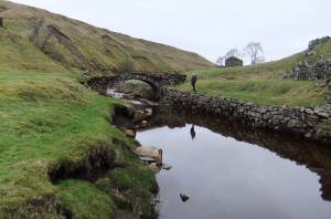
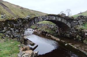
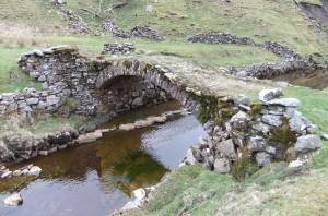
| Record Name | Packhorse bridge across West Stonesdale Beck at How Gill |
| Record Description | Stone packhorse bridge. |
| Dimensions | See photographs. |
| Additional Notes | A well built and well preserved stone bridge providing access to meadows and barns on both banks of West Stonesdale. |
| Image 1 ID | 2400 Click image to enlarge |
| Image 1 Description | |  |
| Image 2 ID | 2401 Click image to enlarge |
| Image 2 Description | |  |
| Image 3 ID | 2402 Click image to enlarge |
| Image 3 Description | |  |